Railways to use LiDAR remote-sensing technology for survey of Ahmedabad – Mumbai bullet train corridor
February 14, 2017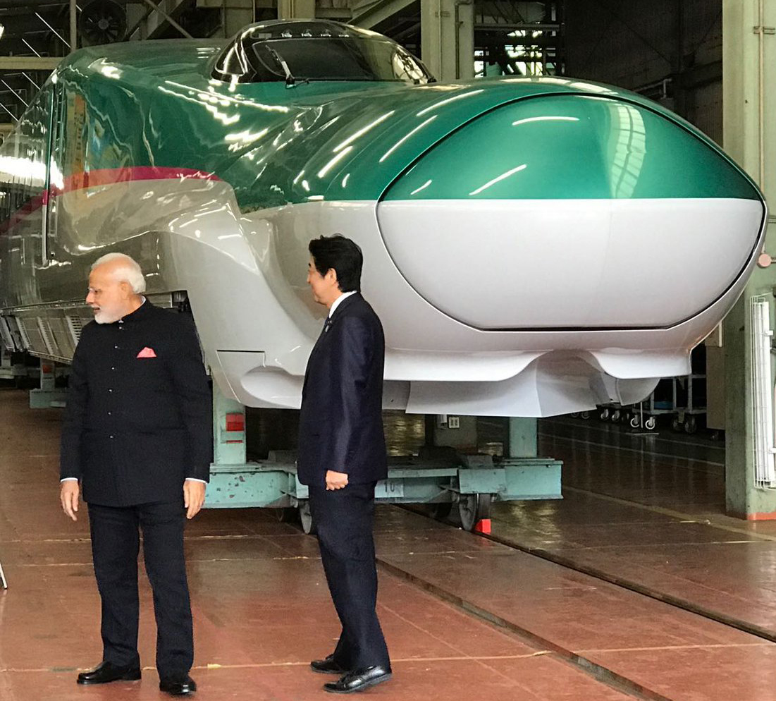
Mumbai: The railways will use LiDAR(Light Detection and Ranging) remote-sensing technology – helicopter survey using a chopper -to speed up work on India’s first high-speed train corridor between Mumbai and Ahmedabad(508-km) as this technology gives accurate data on contours of the land even below vegetation. With LiDR, the survey will be completed in upto 10 weeks instead of upto 8 months otherwise, allowing ground work to start by 2018 as per targeted schedule. As per plan, the entire corridor will be on elevated track except 21 km which will be underground, of which 7 km will pass under the sea.The survey helicopter will have high-resolution digital camera (100 mega pixel), laser scanner , data recorder and other equipment.Through this technology, distance will be measured by illuminating a target with a laser and analyzing the reflected light.The GPS unit interacts with GPS satellites to finalize ground control points. Total flying time for covering the full corridor will be 30 hours. The preparatory work and time taken in processing of data will take longer time. LiDAR penetrates through vegetation to identify the accurate level and contour of land.Cross-section of land can be seen without any foliage which will help plan for bridges etc.
Related Stories
Recent Stories
- 12 Muslim candidates against Amit Shah in Gandhinagar Lok Sabha seat
- Nomination forms of Surat Lok Sabha seat Congress candidate, dummy candidate rejected
- Banas Dairy announces hike of Rs. 15 per kg fat of Milk
- Surat Congress candidate Nilesh Kumbhani's nomination form facing invalidation procedure
- ACB Gujarat decoy traps private hospital's staffer for bribery
- Chaitar Vasava has 13 FIRs against him under over 30 IPC sections in 3 police stations
- WR to run 2 pairs of Sabarmati-Barmer Special trains for summer