Weather updates (updated)
June 12, 2014
Ahmedabad, 12 June, 2014
The city of Ahmedabad is cloudy today. Temperature has come down. Normally southwest monsoon should start on 15 June in Gujarat, but not every time. It delays sometimes, and starts early too on rare occasions. Nakshatra based Jyotish suggests the monsoon will register its grand entry post 22 June. Presented here is temperature noticed in Gujarat’s major towns and cities at 8.30 am today. Also presented is a graphics of Nanauk cyclone which is moving towards Oman. According to experts it is heading for landfall at Masirah Island in Oman on Sunday night, though it will be a weaker storm. As Oman and Gujarat are connected through sea, some impact on Gujarat coast is expected, but beyond coast, it seems there will not be a significant effect.

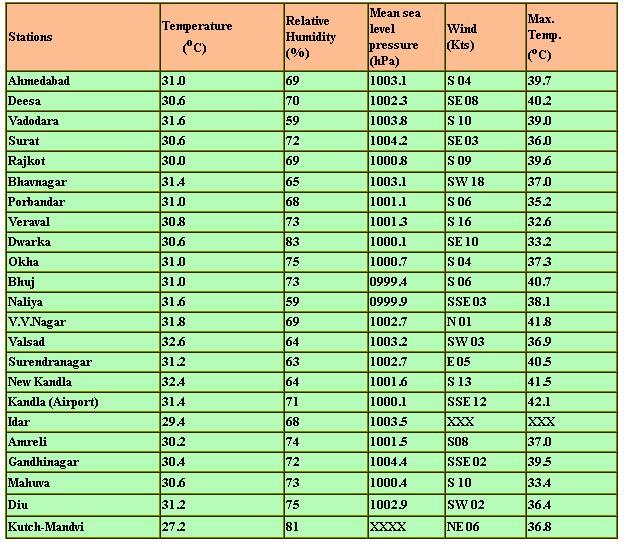
Bhavnagar was most windy with 33.33 km wind per hour.
Updates:
Coastal towns in Saurashtra today witnessed unusual movement of Arabian sea.
Sea water submerged a road on sea-side partially in Porbandar while in Veraval town sea water was seen occupying the ITI campus and Zaleshwar area of fishermen.
Some parked boats in Porbandar suffered damage due to wind and rough sea.
Operations of sea-ferries connecting Okha and Bet Dwarka were halted.
Tourists and pilgrims at Dwarka were alerted against going to sea.
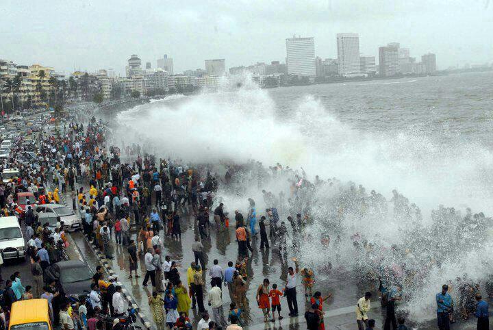
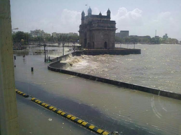
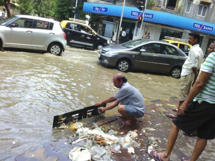
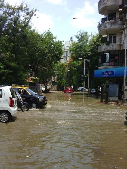
Following are the pictures from Mumbai:
Recent Stories
- Shah in Anand hails Salt Cooperative Initiative of Kutch, predicts Rs. 1 lakh crore Turnover of Amul next year
- Section 144 imposed after arrest of AAP MLA Chaitar Vasava
- 24 hours rainfall data from across Gujarat; Bhiloda tops, Surat City had over 4.56 inch rain
- Chaturmas 2025 starts today across Gujarat; will end on 2nd November
- Gauri Vrat Goro begins across Gujarat ; Jaya Parvati Vrat from July 8
- Stray bull attacks man in Bhachau, Kutch; CCTV footage surfaces
- In pictures: Upcoming Five-Star Hyatt Hotel at GIFT City, Gujarat