IMD forecasts heavy rains in these parts of Gujarat till Sept 1st
August 26, 2025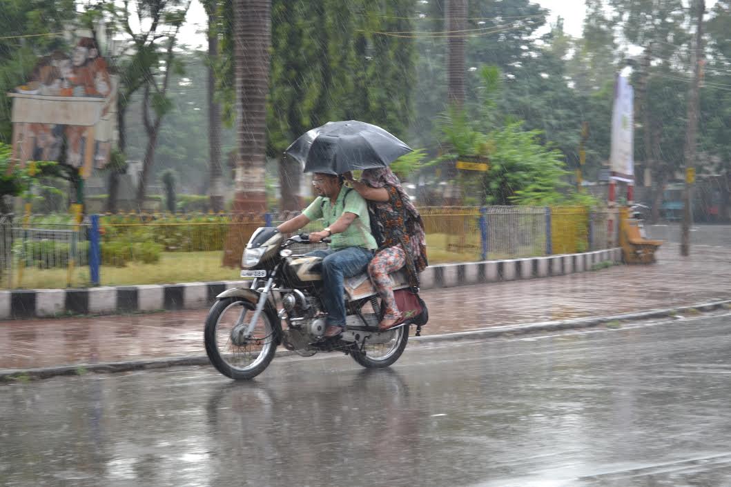
The Indian Meteorological Department (IMD), in its latest forecast, has issued a yellow warning for heavy rain in some parts of Gujarat for the next seven days, till September 1st. However, most parts of the state are likely to receive only light to moderate showers during this period. This comes as a relief, as last week the state was battered by intense rainfall. With no active weather systems over the region now, the intensity of the rain is expected to decrease.
As per the IMD bulletin:
On August 26th: Heavy rains are very likely at isolated places in the districts of Gujarat, namely Banaskantha, Mehsana, Sabarkantha, Aravalli, Dahod, Mahisagar, Surat, Dang, Tapi, Navsari, Valsad, and in Daman, Dadra, and Nagar Haveli.
On August 27th: Heavy rains are very likely at isolated places in Chhota Udepur, Narmada, Dang, Tapi, Navsari, Valsad, and in Daman, Dadra, and Nagar Haveli.
On August 28th: Heavy rains are very likely at isolated places in Dahod, Chhota Udepur, Narmada, Dang, Tapi, Navsari, Valsad, and in Daman, Dadra, and Nagar Haveli.
On August 29th: Heavy rains are very likely at isolated places in Dang, Tapi, Navsari, Valsad, and in Daman, Dadra, and Nagar Haveli.

On August 30th: Heavy rains are very likely at isolated places in Banaskantha, Sabarkantha, Aravalli, Dahod, Mahisagar, Navsari, Valsad, and in Daman, Dadra, and Nagar Haveli.
On August 31st: Heavy rains are very likely at isolated places in Banaskantha, Sabarkantha, Aravalli, Mahisagar, Navsari, Valsad, and in Daman, Dadra, and Nagar Haveli.
On September 1st: Heavy rains are very likely at isolated places in Banaskantha, Patan, Mehsana, Sabarkantha, Navsari, Valsad, and in Daman, Dadra, and Nagar Haveli.

Synoptic Situation:
Under the influence of an upper air cyclonic circulation over the northwest Bay of Bengal off Odisha-West Bengal coasts, a low-pressure area has formed over the northwest Bay of Bengal off Odisha coast at 0530 hrs IST today and lay over the same region at 0830 hrs IST today, 26th August 2025. The associated cyclonic circulation extends up to 7.6 km above mean sea level and is tilting southwestwards with height. It is likely to move west-northwestwards and become more marked during the next two days.
Yesterday’s upper air cyclonic circulation over south Haryana and adjoining northeast Rajasthan, extending up to 5.8 km above mean sea level and tilted southwards with height, persists.
The monsoon trough now passes through Ganganagar, Sirsa, Agra, Banda, Sidhi, Sambalpur to the centre of the low-pressure area over the northwest Bay of Bengal off Odisha coast, and thence southeastward to east-central Bay of Bengal. It extends up to 1.5 km above mean sea level and continues to pass through the two embedded cyclonic circulations. DeshGujarat
Recent Stories
- CII Gujarat names Achal Bakeri as Chairman, Naresh Patel as Vice Chairman for 2026–27
- VUDA Clears ₹801 Crore Budget, ₹50 Crore Allotted for Ring Road Project
- SC Orders Status Quo in Bhadra Parisar Case; Stays Reinstatement of Street Vendors
- Hindu Minor Lured Into Love Trap, Fake Aadhaar Used to Book Hotel Room; Three Held in Ahmedabad
- Delivery of 10 New Trainsets for Ahmedabad Metro Likely to Commence from June 2026