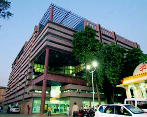
Ahmedabad civic body to geotag around 25 lakh properties
April 28, 2025
Ahmedabad: The Amdavad Municipal Corporation (AMC) is set to implement a Rs 250 crore Geographic Information System (GIS) project, which includes geotagging 24.46 lakh properties across the city.
On April 23, AMC issued a tender inviting bids from national and international firms for the survey, development, implementation, and maintenance of a GIS-enabled Management Information System (MIS) for Ahmedabad. As part of the project, AMC plans to geotag 18.30 lakh residential and 6.16 lakh non-residential properties, while also creating a 3D aerial digital map of the city.
This GIS mapping initiative is a prerequisite for securing a Rs 3,000 crore loan from the World Bank, intended to upgrade the city’s infrastructure. The World Bank funds are earmarked for improvements to drainage systems, water networks, and sewage treatment facilities. To meet loan conditions, AMC must first establish a dedicated GIS cell, for which the tender has been floated.
Despite various departments having individually spent crores over the years, AMC currently lacks a unified GIS database for roads, footpaths, buildings, and underground utilities.
Officials explained that the World Bank’s requirements, along with the city’s expanding boundaries and growing property count, have necessitated the new Rs 250 crore project.
It is learnt that the GIS system will centralize data on roads, underground utilities, buildings, and property tax records. For example, before beginning projects like flyover construction, planners will be able to access underground utility maps for better coordination. Going forward, all infrastructure work will require prior approval from the newly formed GIS cell. DeshGujarat
Recent Stories
- Shah in Anand hails Salt Cooperative Initiative of Kutch, predicts Rs. 1 lakh crore Turnover of Amul next year
- Section 144 imposed after arrest of AAP MLA Chaitar Vasava
- 24 hours rainfall data from across Gujarat; Bhiloda tops, Surat City had over 4.56 inch rain
- Chaturmas 2025 starts today across Gujarat; will end on 2nd November
- Gauri Vrat Goro begins across Gujarat ; Jaya Parvati Vrat from July 8
- Stray bull attacks man in Bhachau, Kutch; CCTV footage surfaces
- In pictures: Upcoming Five-Star Hyatt Hotel at GIFT City, Gujarat
