Red Alert in parts of Gujarat; Severe Thunderstorm, Heavy Rain likely over next 24 hrs
May 07, 2025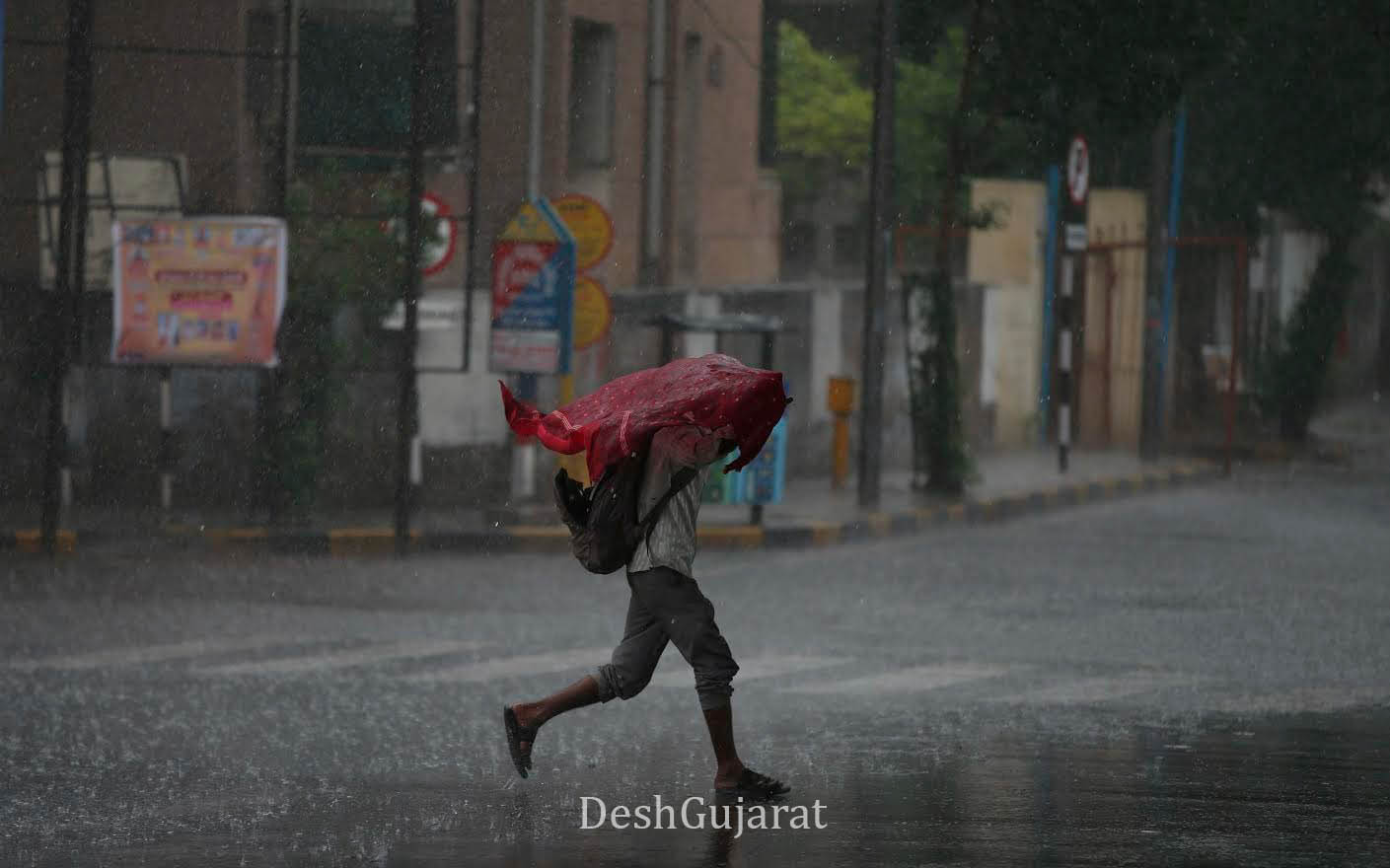
Ahmedabad: Gujarat braces for intense rainfall over the next 24 hours as multiple weather systems have become active simultaneously. The India Meteorological Department (IMD) has issued a red alert for parts of Gujarat, forecasting severe thunderstorms, heavy rainfall, and strong winds.
According to the IMD bulletin, a red alert has been issued for Bhavnagar, Amreli, Ahmedabad, Anand, Valsad, Daman, and Dadra Nagar Haveli, with severe thunderstorms, lightning, and surface winds of 60–70 kmph (in gusts) accompanied by heavy to very heavy rain likely at isolated places in these districts.
The districts of Banaskantha, Patan, Mehsana, Sabarkantha, Gandhinagar, Aravalli, Kheda, Panchmahal, Dahod, Mahisagar, Vadodara, Chhota Udepur, Narmada, Bharuch, Surat, Dang, Navsari, and Tapi; and all districts of Saurashtra-Kutch including Surendranagar, Rajkot, Jamnagar, Porbandar, Junagadh, Morbi, Dwarka, Gir Somnath, Botad, Kutch, and Diu have been placed under an orange alert for likely moderate to heavy rain during the next 24 hours.
On May 8 (tomorrow), an orange alert has been issued for thunderstorms accompanied by heavy rain in Sabarkantha, Aravalli, Anand, Mahisagar, Bharuch, Valsad, Daman, and Dadra Nagar Haveli; and in the Saurashtra districts of Rajkot, Amreli, Bhavnagar, Gir Somnath, and Diu. Moderate to light rain is expected across other districts of the state.
Rainfall activity is expected to slow down from May 9, though light to moderate rain may continue at isolated places across all districts of Gujarat until May 13.
As per the synoptic situation shared by IMD:
-
A cyclonic circulation is present over northwest Madhya Pradesh at about 0.9 km above mean sea level.
-
A trough runs from the northeast Arabian Sea to west Madhya Pradesh across Gujarat at 3.1 to 5.8 km above sea level.
-
Another trough runs east-west from southwest Rajasthan to north Jharkhand across parts of Madhya Pradesh and Chhattisgarh at 0.9 km above sea level.
-
The cyclonic circulation over southwest Rajasthan observed yesterday has become less marked.
Recent Stories
- Gujarat Govt orders Premature Retirement of Five Judges on High Court recommendation
- 2016 Una Flogging Case: Five Convicted, 35 Acquitted by Gir Somnath Court
- LPG Crunch Hits Dahod Railway Workshop Canteen; Cooking Moves to Wood-Fired Stoves
- Gujarat Gets Two Members on National Board for Wildlife After Fresh Appointments
- Top 10 Mistakes People Make When Choosing Between Term Insurance and Life Insurance