
IMD issues red alert for extremely heavy rainfall in parts of Gujarat till August 21st
August 20, 2025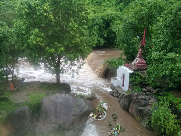
Dwarka: Gujarat has been witnessing torrential rain over the past few days, and the wet spell is likely to continue till next week. The India Meteorological Department (IMD) has issued a forecast of heavy to very heavy rainfall in several districts of the state till August 26. A red alert has been sounded for the next 48 hours in some districts likely to receive extremely heavy rain.
According to the IMD bulletin, heavy to very heavy rainfall with isolated extremely to exceptionally heavy falls is very likely in Junagadh, Surat, Navsari, Valsad, Daman, Dadra & Nagar Haveli, Porbandar, Devbhoomi Dwarka, Amreli, Bhavnagar, Gir Somnath, and Diu till 8:30 am of August 21. A red alert has been issued for these districts. During the same period, Narmada, Bharuch, Dang, Tapi, Rajkot, Jamnagar, Morbi, and Botad have been placed under orange alert. Other districts are also likely to receive heavy rainfall.

On August 21, Dwarka will remain under red alert, while Banaskantha, Patan, Navsari, Valsad, Daman, Dadra & Nagar Haveli, Rajkot, Jamnagar, Porbandar, Junagadh, Morbi, and Kutch are on orange alert. Except for Dahod and Panchmahal, most other districts may receive heavy rainfall.
The IMD further stated that rainfall intensity may decrease from August 22, with heavy rainfall confined to Banaskantha, Patan, Mehsana, Sabarkantha, Gandhinagar, Aravalli, Kheda, Ahmedabad, Dahod, Mahisagar, Navsari, Valsad, Daman, Dadra & Nagar Haveli, and parts of Saurashtra-Kutch including Surendranagar, Rajkot, Jamnagar, Porbandar, Junagadh, Morbi, Dwarka, and Kutch. On August 23, heavy rain is likely in north Gujarat and parts of Saurashtra including Amreli, Bhavnagar, and Botad, while other areas may see light rain.
On August 24, heavy rainfall is expected at isolated places in Banaskantha, Sabarkantha, Aravalli, Mahisagar, Dahod, Navsari, Valsad, Daman, Dadra & Nagar Haveli, Amreli, and Bhavnagar. On August 25 and 26, heavy rainfall is likely in Aravalli, Dahod, Mahisagar, Navsari, Valsad, Daman, Dadra & Nagar Haveli, Amreli, and Bhavnagar.
Meanwhile, the IMD reported that the depression over south interior Odisha moved west-northwestwards and weakened into a well-marked low-pressure area over central Chhattisgarh on August 19 evening. By the morning of August 20, it further weakened into a low-pressure area over Chhattisgarh and adjoining east Madhya Pradesh, becoming less marked later in the day. However, the associated cyclonic circulation persists over southeast Madhya Pradesh up to 4.5 km above mean sea level. Additionally, cyclonic circulations over the northeast Arabian Sea and adjoining Gujarat, a shear zone over central India, an offshore trough from south Gujarat to north Kerala, and the active monsoon trough across India are contributing to the ongoing wet conditions. DeshGujarat
Recent Stories
- Diwali Food Safety Drive: AMC Seals Two Units, Fines Four Outlets ₹40,000
- HDFC Bank Gets Govt Nod to Offer Deposits Under Capital Gains Accounts Scheme
- GSSSB Announces Recruitment for 1,237 Class-3 Posts; Applications Open on November 5
- AMC to Hike Parking Fees; Proposed New Rates Here
- Mumbai Mayor Ritu Tawde Meets Gujarat CM Bhupendra Patel
- Holiday Inn Resort to Come Up in Sasan Gir