
IMD Issues Orange, Yellow Alerts for Heavy Rain in These Parts of Gujarat
August 10, 2026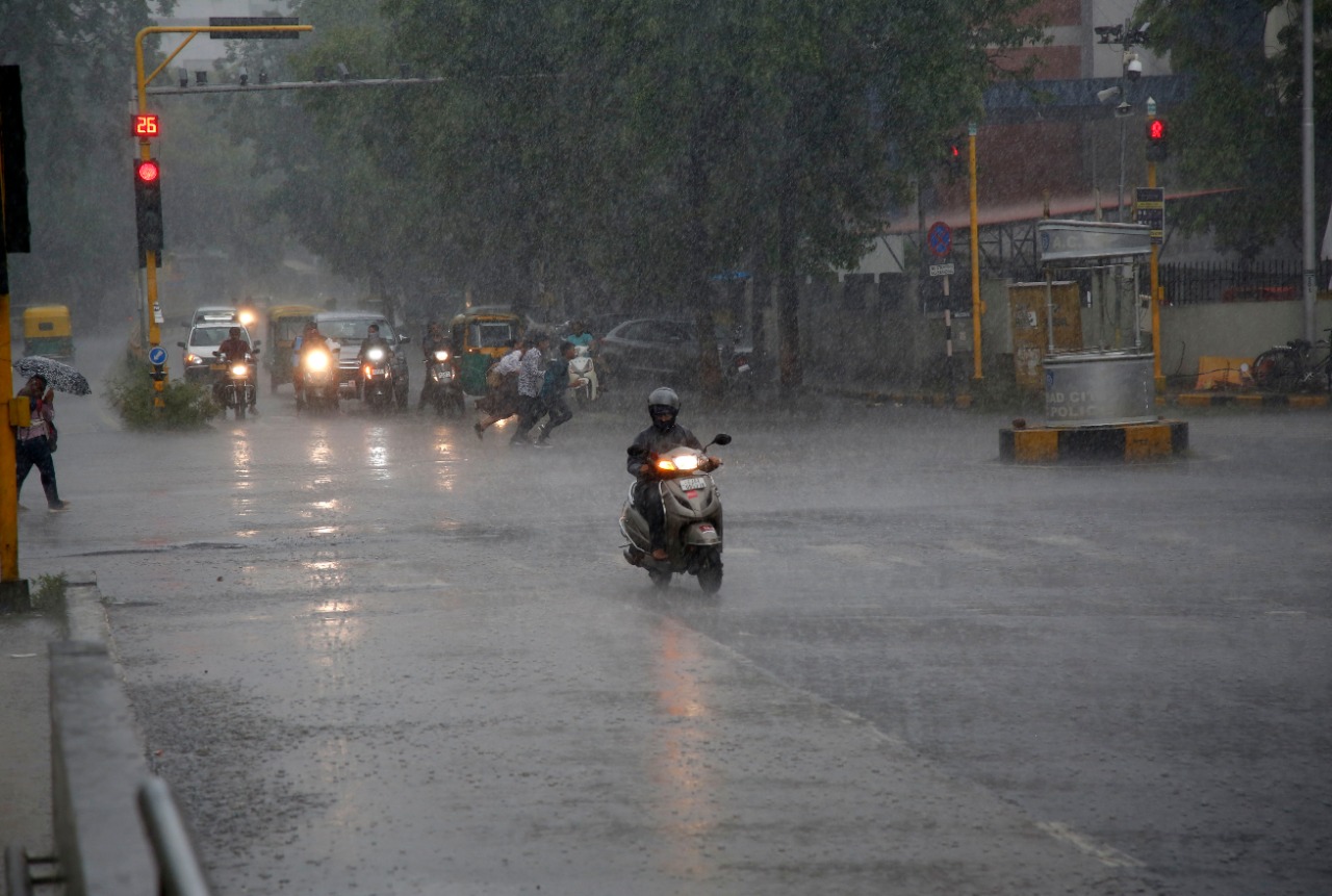
Ahmedabad: The India Meteorological Department (IMD) has issued orange and yellow alerts for heavy to very heavy rainfall at isolated places in parts of Gujarat over the next 48 hours. The weather office has also forecast thunderstorms accompanied by lightning, gusty winds and light to moderate rainfall in several districts through August 12.
According to the IMD bulletin, very heavy rainfall is very likely at isolated places in Aravalli and Mahisagar districts, for which an orange alert has been issued. A yellow alert for heavy rainfall has been issued for Banaskantha, Vav-Tharad, Sabarkantha, Panchmahal and Dahod until 8.30 am on August 11.
On August 11, heavy rainfall is likely at isolated places in Aravalli, Panchmahal, Dahod, Mahisagar and Chhota Udepur districts.

The IMD has also forecast light thunderstorms with lightning, surface winds of 30-40 kmph and light to moderate rainfall at isolated places in several districts of Gujarat, including Banaskantha, Vav-Tharad, Patan, Mehsana, Sabarkantha, Gandhinagar, Aravalli, Kheda, Ahmedabad, Anand, Panchmahal, Dahod, Mahisagar, Vadodara, Chhota Udepur and Narmada.
In Saurashtra, similar weather conditions are likely in Surendranagar, Amreli, Bhavnagar and Botad on Monday.
The IMD said the low-pressure area that was over northeast Madhya Pradesh and adjoining Chhattisgarh on Monday morning had moved over north Madhya Pradesh and neighbouring areas. Its associated cyclonic circulation extends up to 5.8 km above mean sea level and is tilting southwards with height.
The monsoon trough at mean sea level is passing through Bikaner, Datia, the centre of the low-pressure area over north Madhya Pradesh and neighbouring areas, Daltonganj and Digha before extending southeastwards into the east-central Bay of Bengal.
The IMD also said a shear zone is extending roughly along 22°N across central and adjoining north Peninsular India, between 3.1 km and 7.6 km above mean sea level.
Meanwhile, an upper-air cyclonic circulation over the northwest Bay of Bengal and adjoining areas extends up to 7.6 km above mean sea level. Under its influence, a low-pressure area is likely to form over the region around August 12.
South-westerly to westerly winds are prevailing at lower levels over the region, the IMD said. DeshGujarat
Recent Stories
- Western Railway’s Ahmedabad Division Loads First Wheat Mini Rake for ITC Ltd
- Gujarat CM, DyCM, State BJP Chief on Delhi Visit
- Fire at Gandhinagar Secretariat Block 9 Brought Under Control, Digital Records Safe
- ACB Gujarat Nabs Municipality Engineer, Trader in Bribe Case
- Gujarat Kharif Sowing Reaches 85% of Normal Average; Cotton and Groundnut Lead
- Parimal Nathwani releases ‘Gir Ki Amulya Dharohar’ documentary marking World Lion Day 2026