
IMD Issues Yellow Alert for Heavy Rain in Parts of Gujarat on August 11
August 10, 2026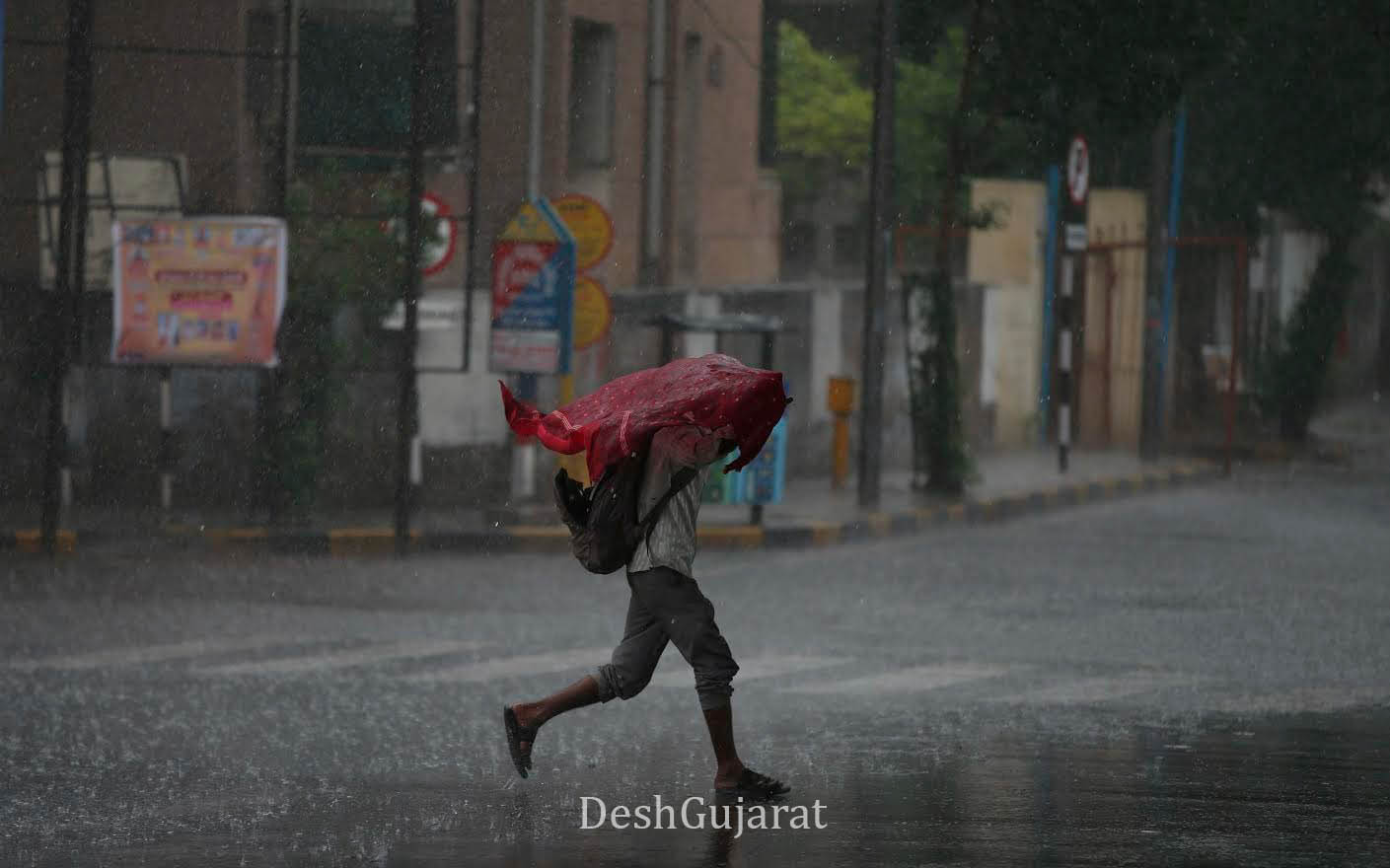
Ahmedabad: The India Meteorological Department (IMD) has issued a yellow alert for heavy rainfall at isolated places in parts of Gujarat on Tuesday, August 11. The weather office has also forecast thunderstorms accompanied by lightning, gusty winds and light to moderate rainfall in several districts through August 12.
According to the IMD, light thunderstorms with lightning and surface winds of 30–40 kmph, accompanied by light to moderate rain, are likely at isolated places in Banaskantha, Vav-Tharad, Patan, Mehsana, Sabarkantha, Gandhinagar, Aravalli, Kheda, Ahmedabad, Anand, Panchmahal, Dahod, Mahisagar, Vadodara, Chhota Udepur and Narmada on August 10.
For August 11, the IMD has issued a yellow alert for heavy rainfall at isolated places in Aravalli, Panchmahal, Dahod, Mahisagar and Chhota Udepur.

Several other parts of Gujarat, including Banaskantha, Vav-Tharad, Patan, Mehsana, Sabarkantha, Gandhinagar, Aravalli, Kheda, Ahmedabad, Anand, Panchmahal, Dahod, Mahisagar, Vadodara, Chhota Udepur, Narmada, Bharuch, Surat, Dang, Tapi, Navsari and Valsad, along with Daman, Dadra and Nagar Haveli, are likely to experience thunderstorms with lightning, gusty winds of 30–40 kmph and light to moderate rainfall.
On August 12, similar weather conditions are expected at isolated places in Banaskantha, Vav-Tharad, Patan, Mehsana, Sabarkantha, Gandhinagar, Aravalli, Kheda, Panchmahal, Dahod, Mahisagar and Vadodara.
From August 13 to 15, the IMD has forecast light to moderate rainfall at several places across Gujarat.
Synoptic Situation
The IMD said the monsoon trough at mean sea level continues to pass through Bikaner, Gwalior, the centre of the low-pressure area over northeast Madhya Pradesh and adjoining Chhattisgarh, Puri and further southeastwards into the Eastcentral Bay of Bengal, extending up to 3.1 km above mean sea level.
The low-pressure area over northeast Madhya Pradesh and adjoining Chhattisgarh persisted over the same region as of 2:30 pm on August 9. Its associated cyclonic circulation extends up to 7.6 km above mean sea level and tilts southwestwards with height.
The Western Disturbance, in the form of a trough in the middle-tropospheric westerlies, also persists, while an upper-air cyclonic circulation over south Madhya Maharashtra continues at around 5.8 km above mean sea level.
Southwesterly to westerly winds are prevailing at lower levels over the region. DeshGujarat
Recent Stories
- Ahmedabad BRTS Announces Route Changes for Tiranga Yatra on August 12
- Vadnagar Auto-Rickshaws Get Heritage Makeover Under GSFC Initiative
- Gujarat Forest Dept to Pay Villagers for Collecting Plastic Waste Near Nalsarovar
- Gujarat to Have Four Centres of Excellence to Accelerate Natural Farming
- Vadodara Police Arrest Karnataka Woman in Newborn Trafficking Case
- Ahmedabad City Witnesses Rain on Tuesday Morning; Here’s Ward-Wise Data