
Possible impacts of Nilofar cyclone as per its present condition
October 27, 2014
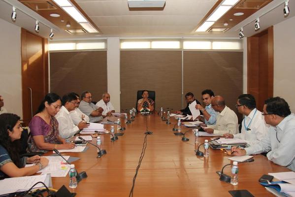
Gujarat Chief Minister holds a high-level meeting to discuss state’s preparedness for Nilofar cyclone
Ahmedabad, 27 October 2014
According to weather analyst Akshay Deoras, northern half of Gujarat particularly Bhuj belt will start witnessing rain from Thursday due to Nilofar cyclone.
Deoras in his detail note on Nilofar cyclone states that as of now, it looks like Nilofar will make a land fall on Friday, October 31 as a “tropical storm”, bringing high velocity winds of about 110 km/hr, as per the present estimate. Heavy rains will be witnessed in this period. Kutch, Patan, Banaskantha, Mehsana districts in Gujarat are likely to be affected by heavy rains, strong winds and possibly flood during October 31 and November 1.
Deoras advises people living in these districts to take precautions like stocking food and medicines and stay away from rivers as they may swell due to rains in this period.
He observes that Nilofar is set to intensify further but will rapidly weaken before striking Gujarat-Pakistan coast on October 31.
He points out that on Monday morning, Tropical Storm Nilofar intensified to a Category 1 cyclone and has become the first cyclone to intensify beyond tropical storm strength in the past four years after Cyclone Phet. Monday morning’s update from US’ Joint Typhoon Warning Centre (JTWC) says that Cyclone Nilofar has maximum sustained winds of 65 knot (120km/hr), gusting to 80 knot (148km/hr). The cyclone was located at 14.9°N,62°E, according to India Meteorological Department at 8.30 am (IST), which corresponds to about 1,179km south-west of Naliya in Gujarat and 880 km east-south east of Salalah, Oman. The cyclone is a bit of slow mover, and has moved north-north-westward with a forward velocity of about 7km/hr (as observed by JTWC).
Click here for his complete note.
Recent Stories
- Gujarat HC Upholds Custody of Bangladeshi Immigrant Woman Pending Deportation
- Ahmedabad Builder Sells Mortgaged Shop, Cheats Buyer of ₹1.10 Crore
- Vadodara Civic Body Proposes New Route for Flood-Prone Bhukhi Canal
- NID Ahmedabad, Somnath Trust Ink MoU for Heritage and Visitor Experience Initiatives
- Ahmedabad Court Sentences Man to 8 Years in Jail for Selling Beef
- Amit Shah to launch ₹1,024 crore projects in Ahmedabad during Diwali visit